
We’ve all heard of the famous sand dunes of Maspalomas, and some nights half of Europe seems to be out in the bars of Playa del Inglés. But as I discovered on a recent visit, there’s another very compelling reason to visit Gran Canaria, and it’s got absolutely nothing to do with beaches or nightclubs…
The mountains of Gran Canaria are a paradise for hikers. Sweeping vistas, well signposted paths, and nifty buses that’ll take you there and back for just a few euros, the drivers negotiating hairpin bends with unfailing dexterity. And even in winter, the tantalising prospect of clear blue skies and bright sunshine…
We set off in the third week of January on an easyJet flight to Las Palmas. The fare: just £87 return per person, including up-front seating and an extra piece of luggage. From the airport it was an easy bus ride down the coast to Playa del Inglés (€3.50) and soon we were checking into our apartment at the eó Maspalomas Resort (£380 for 7 nights).
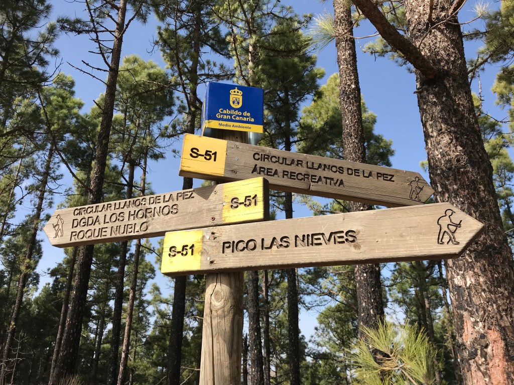
The clean, quiet, well-run site has a swimming pool and lies halfway between town and beach. Crucially for us, it’s also on the no.18 bus route to the mountains. This handy service starts at Maspalomas lighthouse, stops a few times in Playa del Inglés, and then makes its way up into the highlands to the hikers’ hub of San Bartolomé de Tirajana and the pretty village of Tejeda.
Buses leave Maspalomas at 08:00 (Mon-Fri) and 09:30 (daily), returning from Tejeda at 17:00 and San Bartolomé de Tirajana at 18:00. But check the times before you travel. The entire journey takes 1hr 45 mins and costs €6.15 and the views are absolutely stunning. For maximum effect, sit on the driver’s side of the bus on the way up; if you haven’t got a head for heights, sit on the other side or shut your eyes!
Our two hiking routes in Gran Canaria
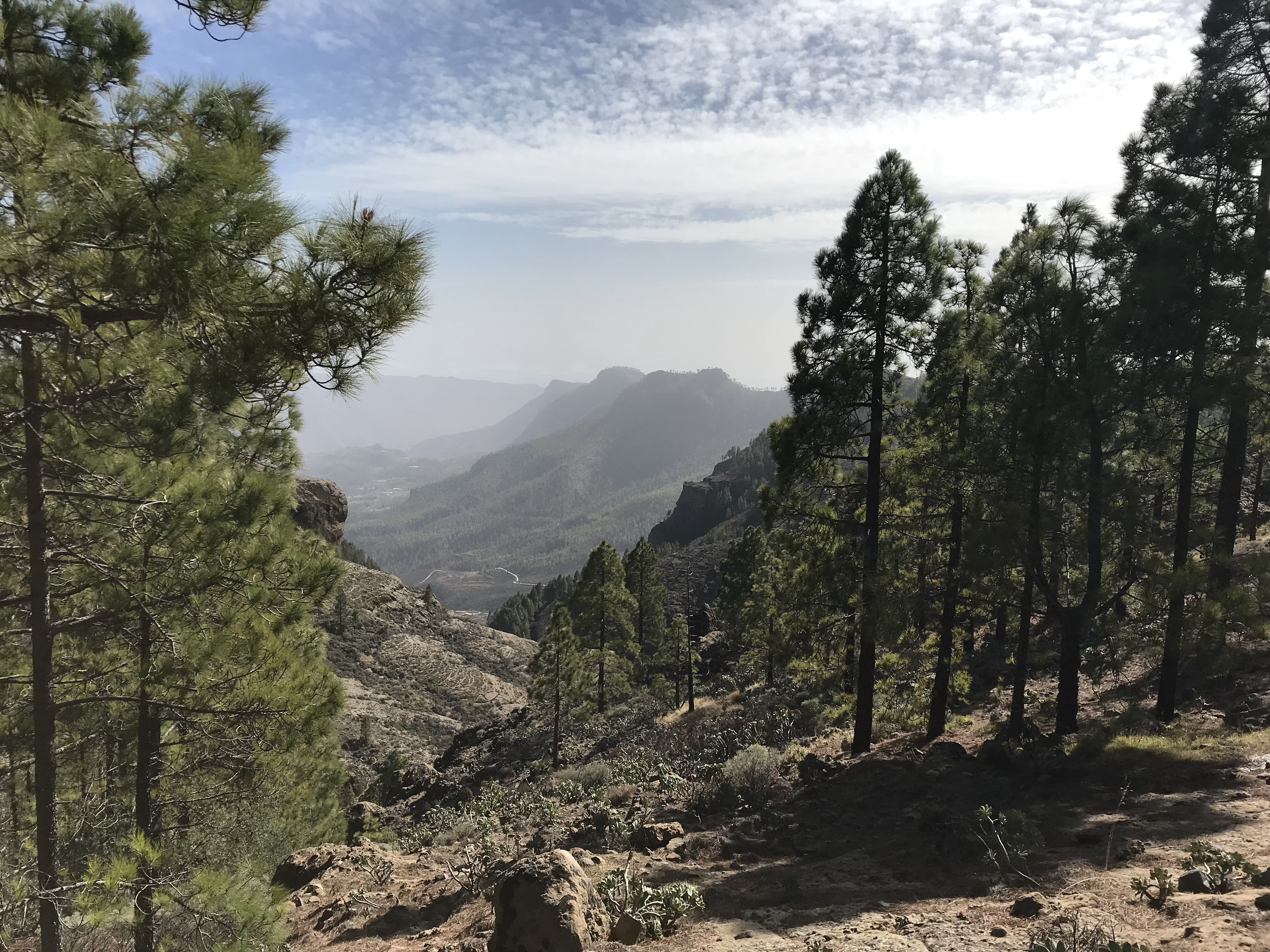
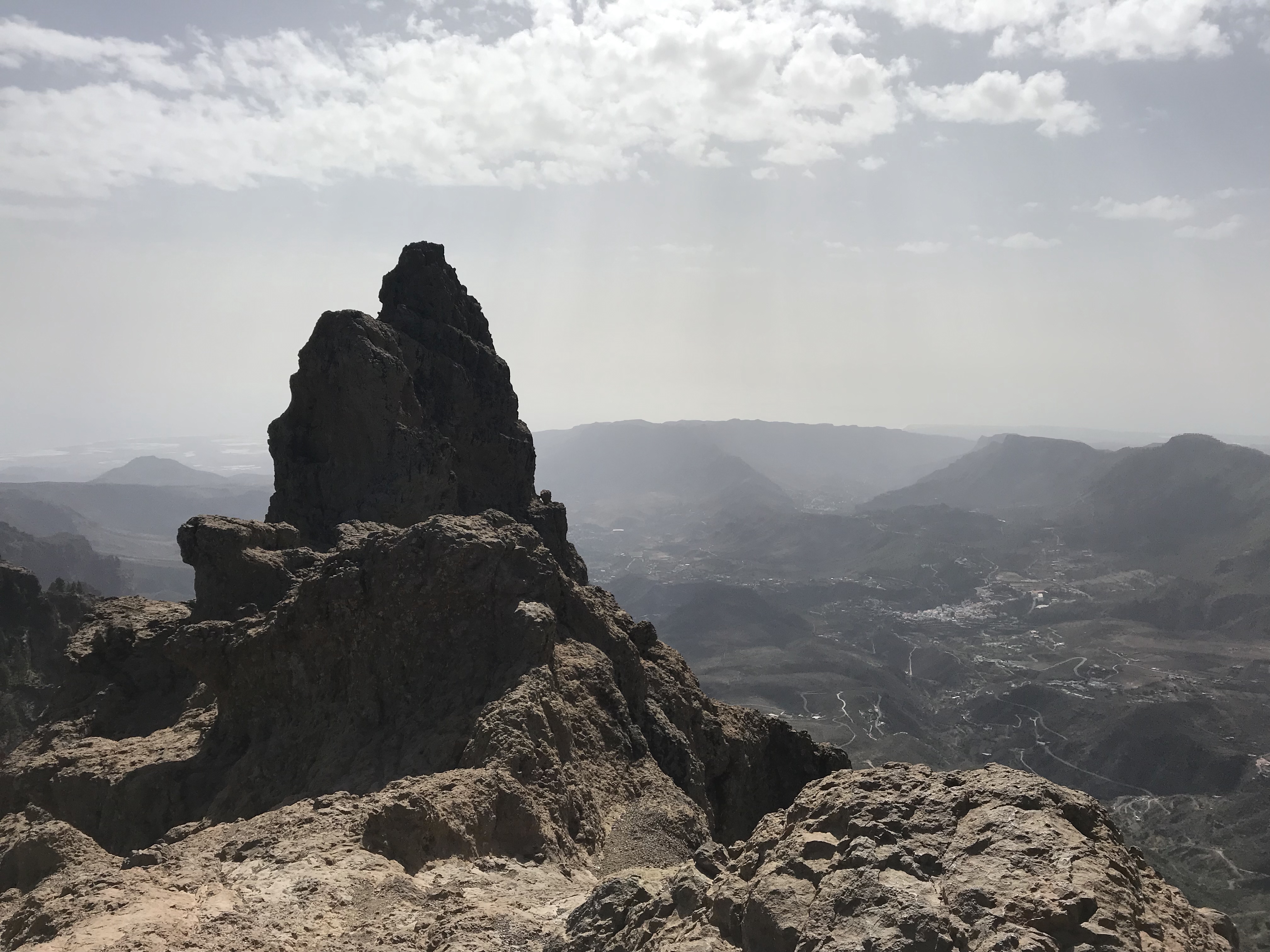
We did two mountain hikes, each of around 13-14 miles. The first (shown in red on the map below) began at the bus terminus at Tejeda (1050m above sea level) and took us up to the famous volcanic crag of Roque Nublo (1800m) before heading back down the mountain on a well-maintained path to Cruz Grande. From there, it was a gentle stroll through the forest to San Bartolomé de Tirajana (900m), where we had a beer before catching the 6pm bus back to Maspalomas.
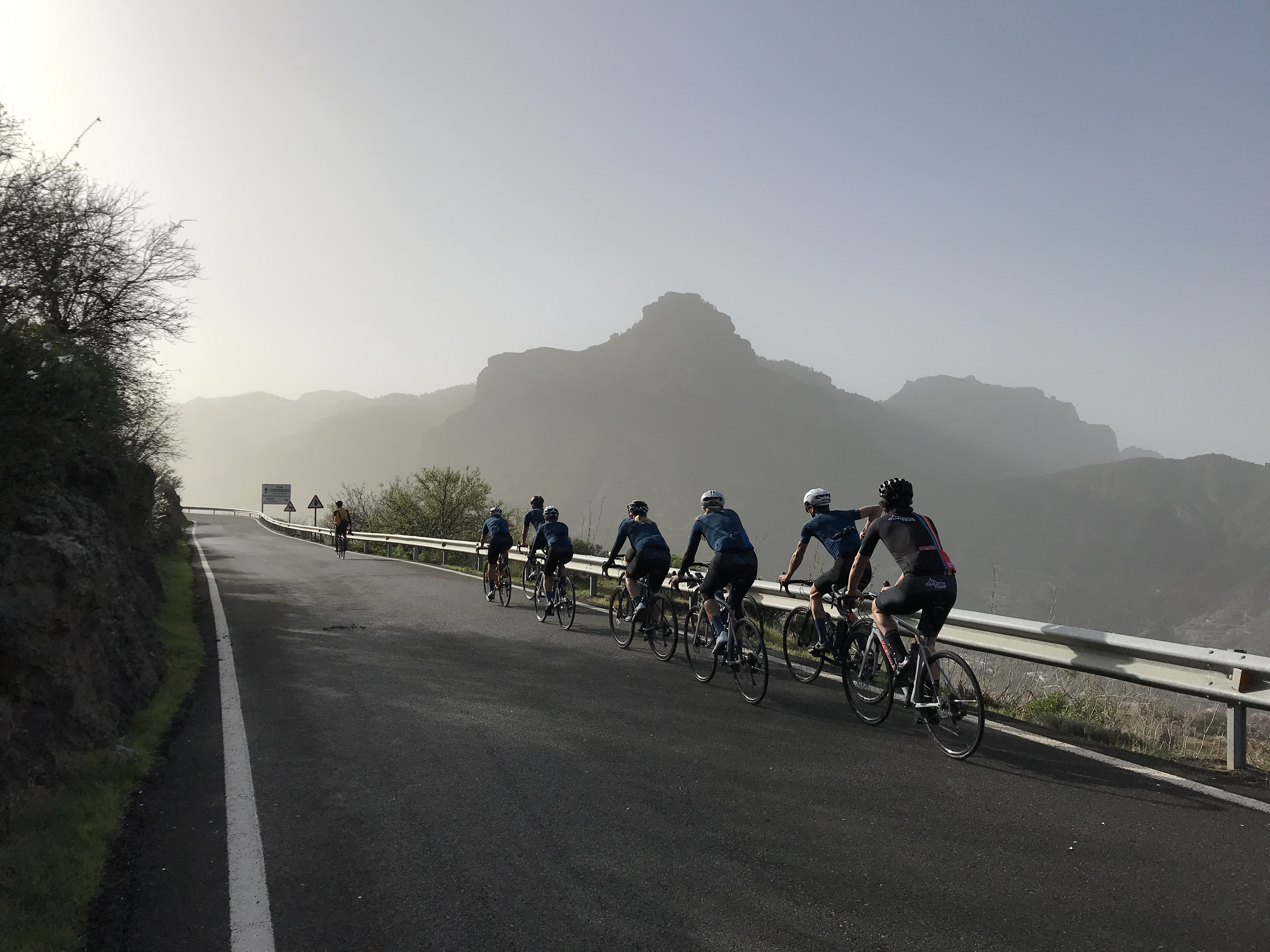
The day was magical and we were blessed with perfect weather. Hard to believe it was still the middle of January as we strolled along under blue skies – me in shorts and a fleece. Apart from a few cyclists who sped past us, there was very little road traffic. And once we were on the hiking trails we saw next to no-one. The one exception was on the path up to Roque Nublo; a nearby car park means the area is more accessible to non-walkers.
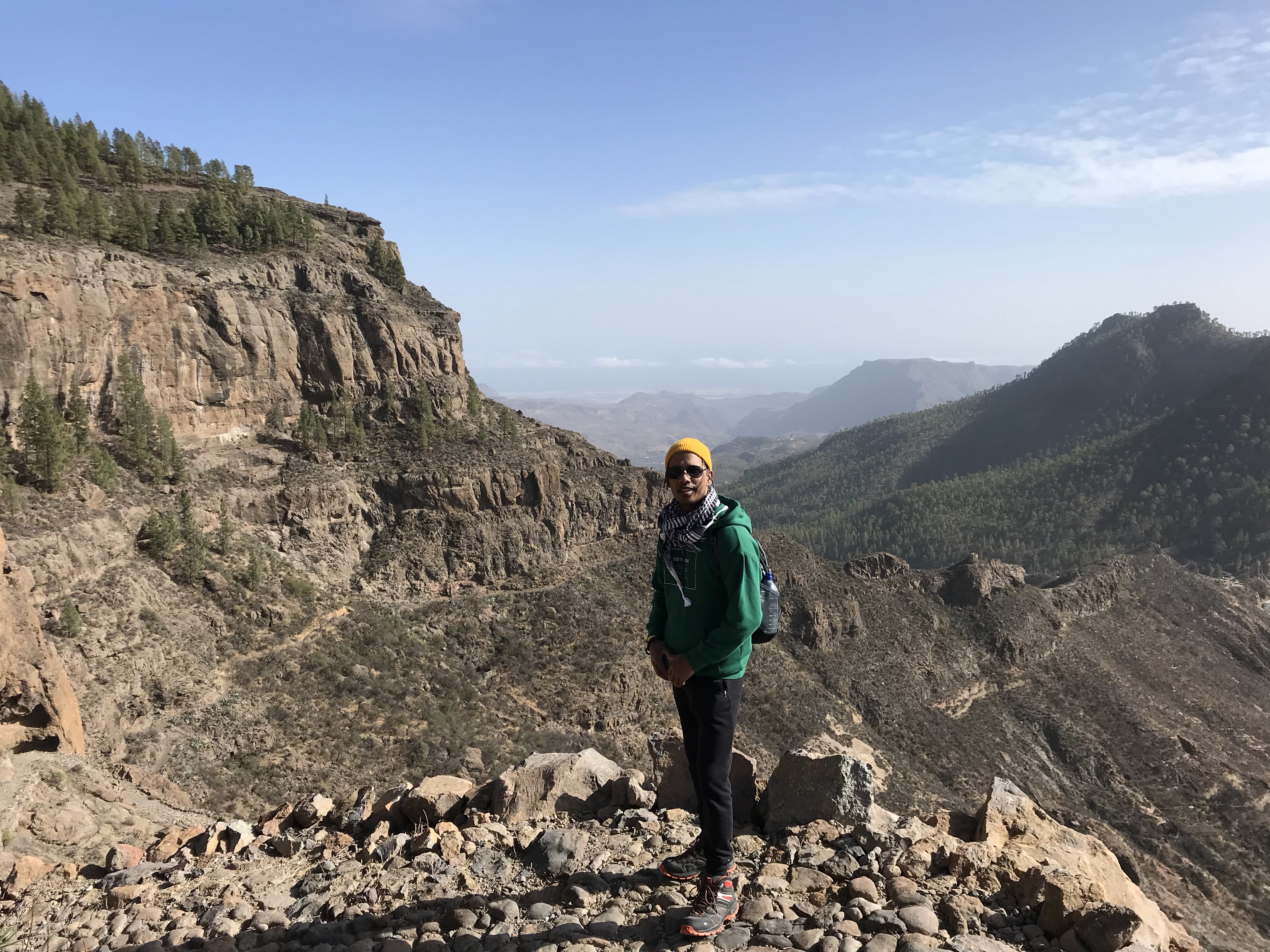
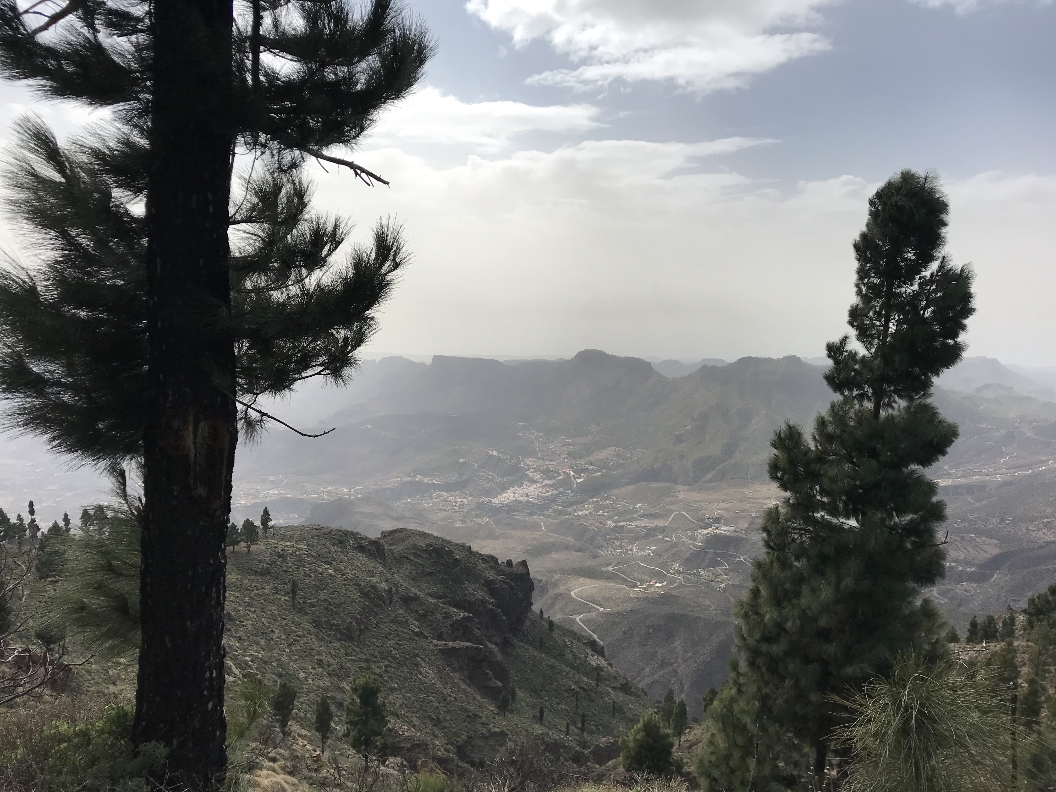
On our second hike (shown in blue, and overlapping for a few miles with the red route) we climbed Gran Canaria’s second-highest mountain. Pico de las Nieves is an impressive 1949m above sea level, and is often held to be the island’s highest peak. However, neighbouring Morro de la Agujereada is actually a few metres higher – though you’d have to climb a vertiginous rock to get to the top, which we didn’t fancy…
We started in the hamlet of Ayacata (1315m), again on the no.18 bus route from Maspalomas. First we picked our way up rocky paths and winding roads, and then it was a steep but safe climb through the forest to the mountain summit. The views were glorious and we found a sheltered spot to have our lunch.
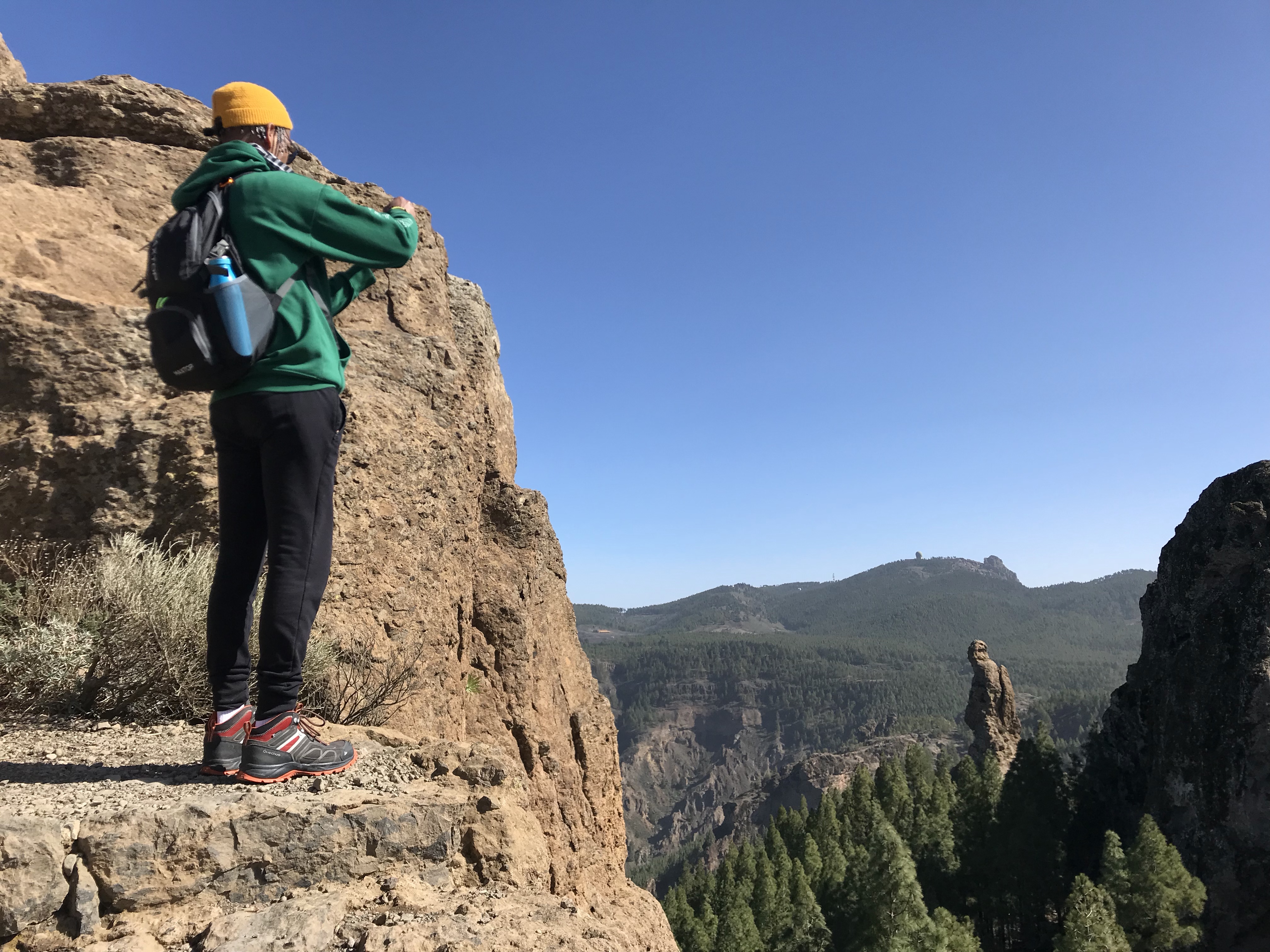
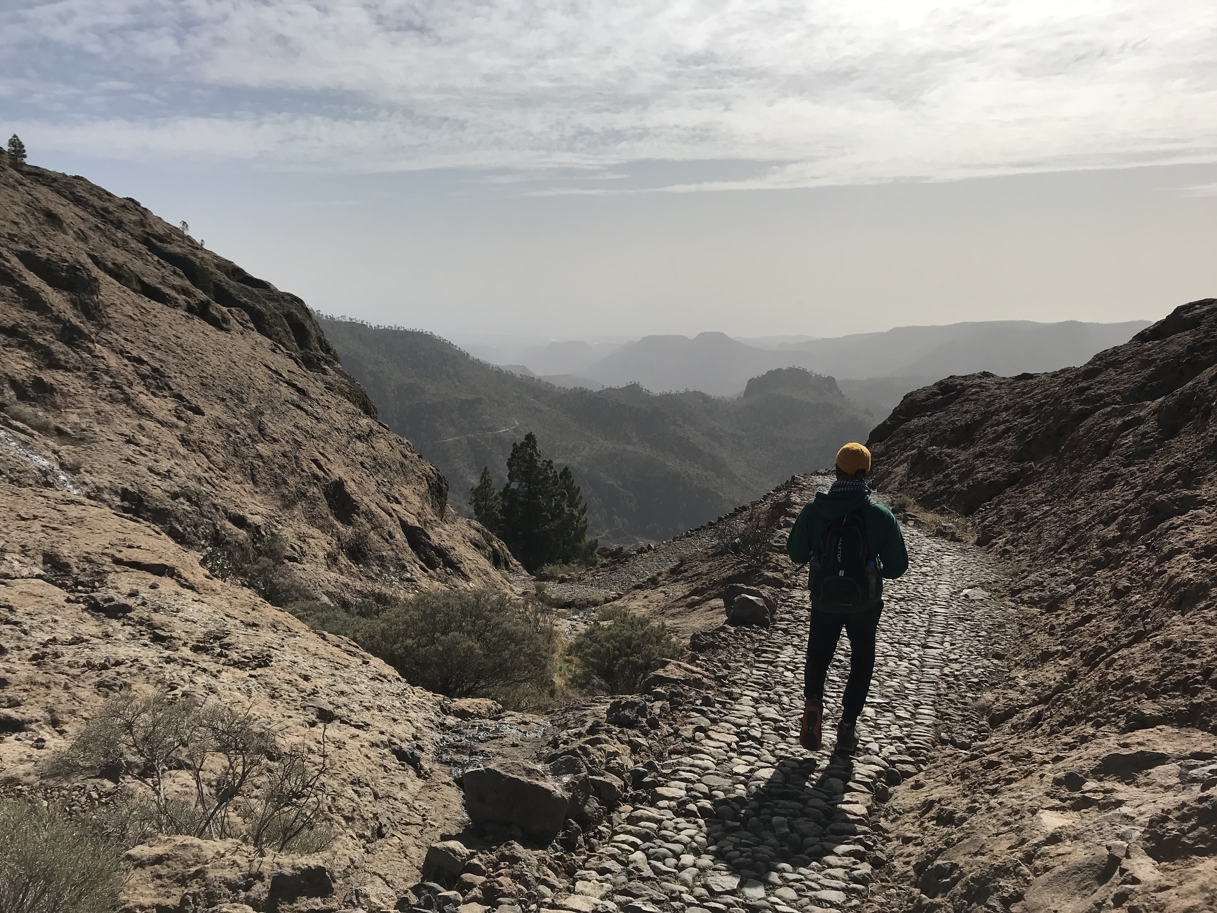
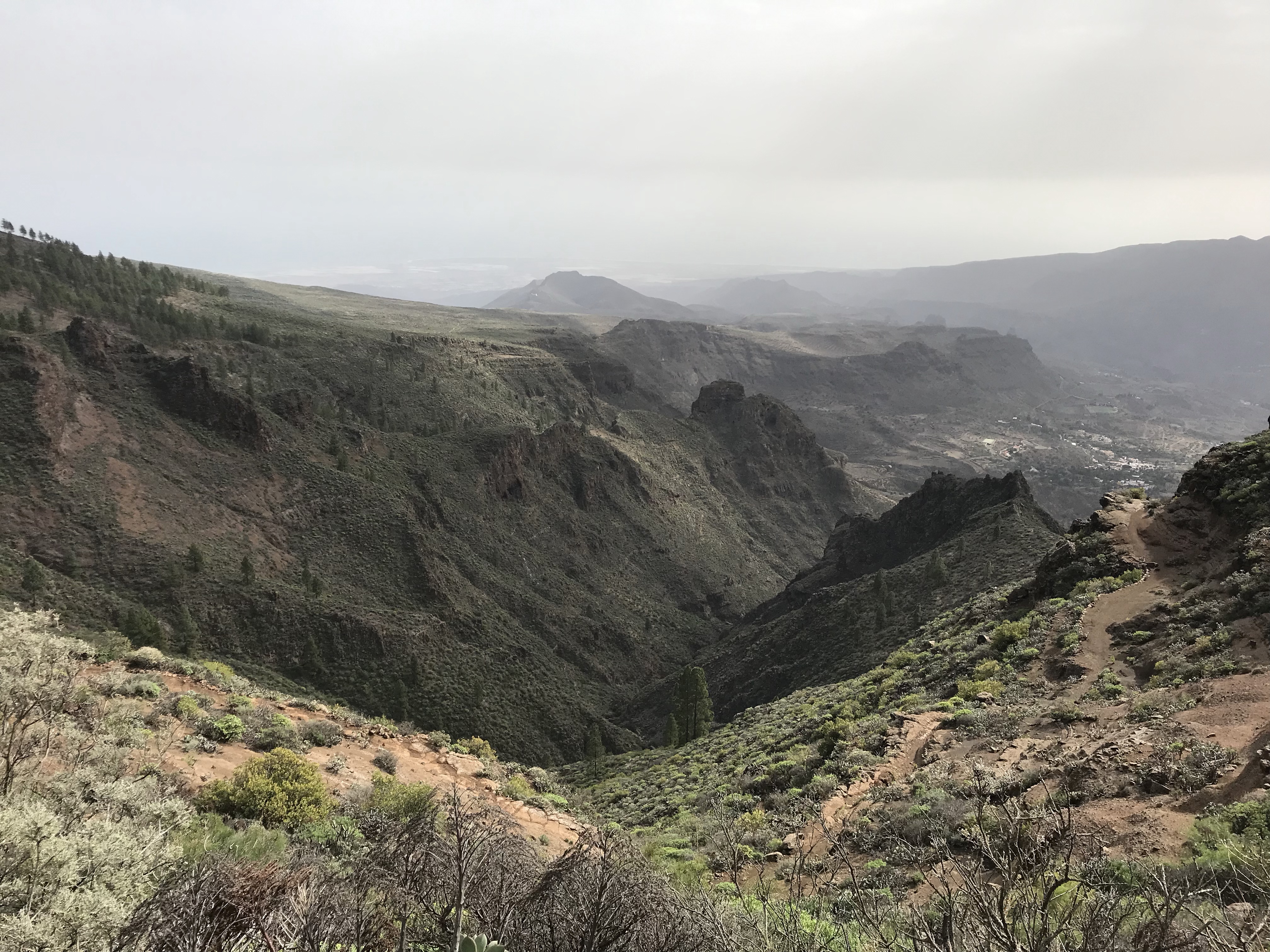
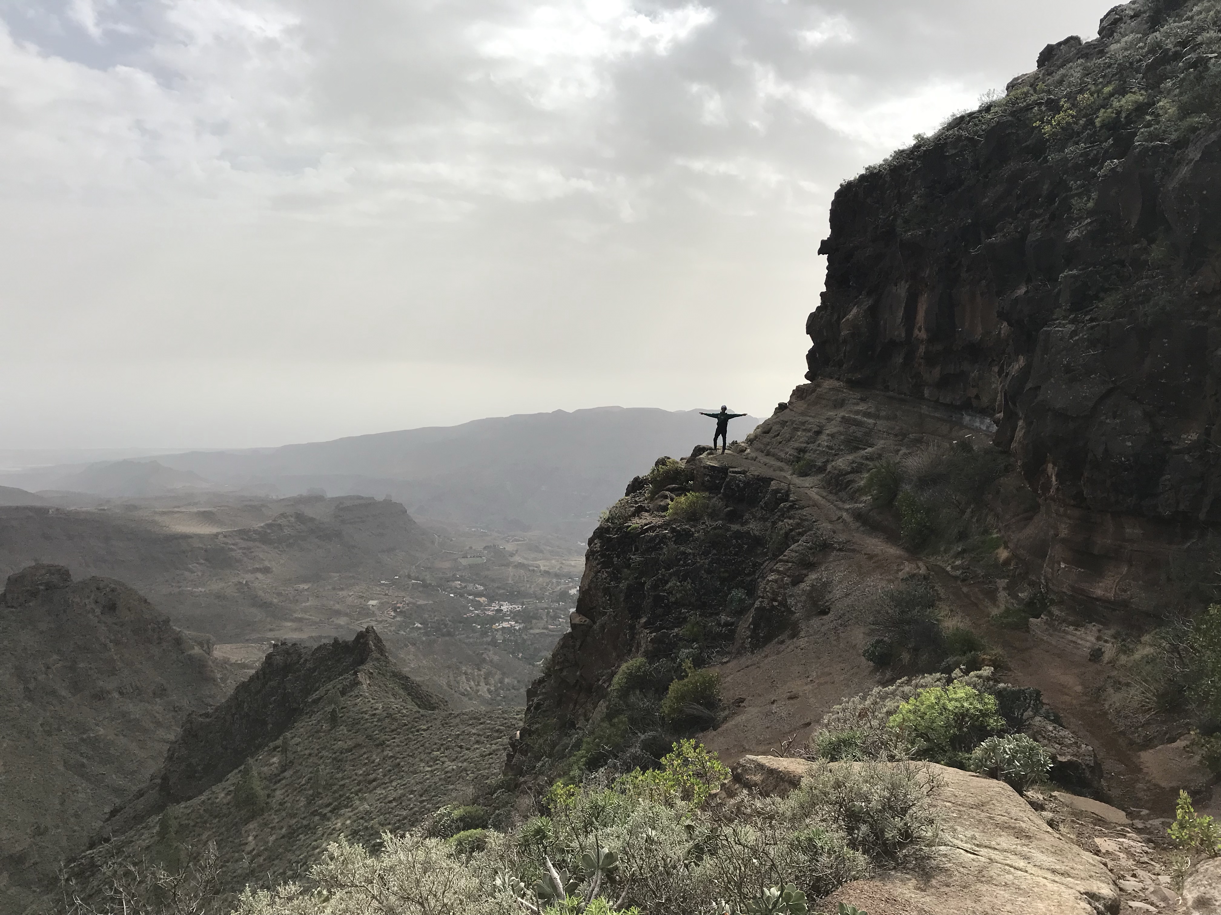
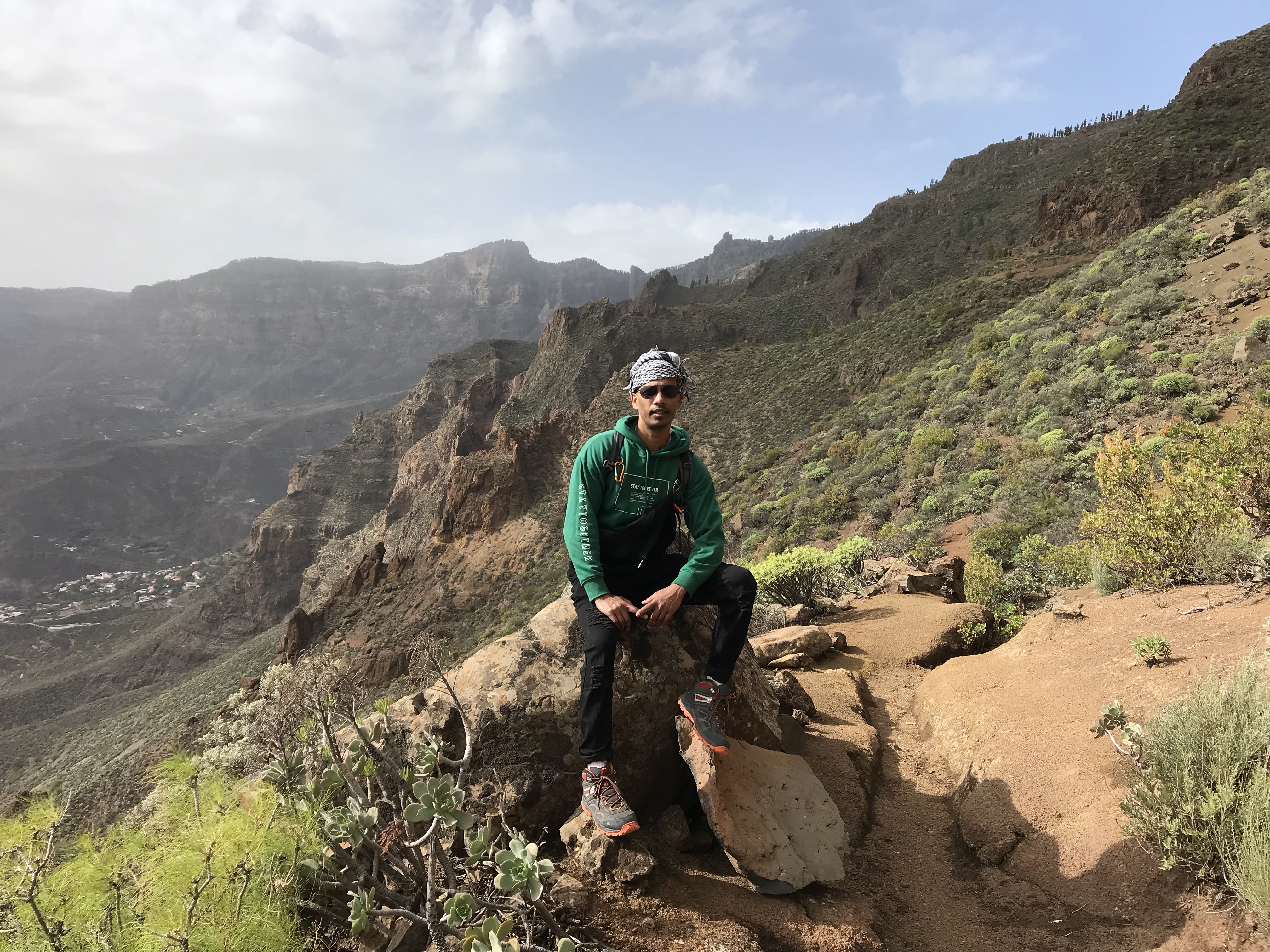
In the afternoon we followed the mountain ridge in a south-easterly direction before taking a long, steep path with multiple hairpin bends down into the valley some 1000m below. Again the views were spectacular. At one point the path seemed to cling to the edge of the mountain (see the fifth image below). Although it was less dangerous than it looks, we certainly had to watch our step…
We finally reached San Bartolomé de Tirajana at half past five, which again gave us time for a refreshing beer before we took the last bus back. There are several bars in the village, both with seating on an outside terrace – it’s a nice way to finish a long day’s hike.
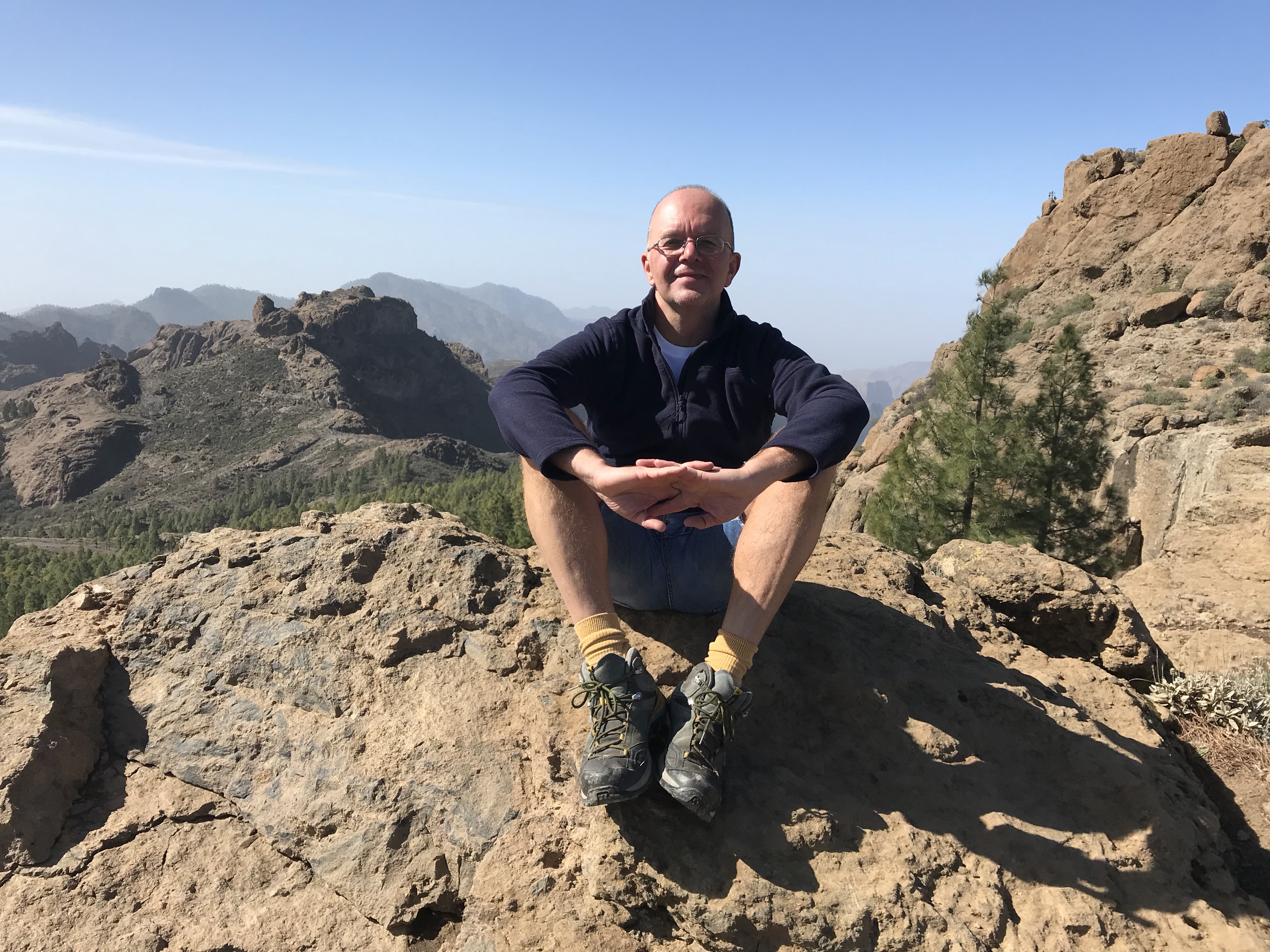
So a great experience all round, and one I’d highly recommend to anyone who’s an experienced hiker with a reasonable level of fitness. I’m 52 and my hiking partner is 44; neither of us felt these routes were too challenging. We averaged around 2mph on both walks (including steep ascents and descents). While some sections required concentration, we didn’t encounter anything like the hair-raising moments you get on Madeira’s levadas.
Some advice about hiking in Gran Canaria
- Remember that weather conditions up in the mountains are very different from down on the coast. Be prepared for temperatures as low as zero and potentially a wind chill of minus 5. Bring layers that you can adjust accordingly. We used Mountain Forecast to check conditions before each hike. DON’T attempt a hike in poor conditions (fog, high wind, heavy rain or snow).
- Use sunscreen, even in mid-winter. UV levels will be far higher than you’re used to in the UK. Caps are likely to blow off in the wind (as my hiking buddy found out!) and a balaclava is a wise investment for days with extreme wind chill.
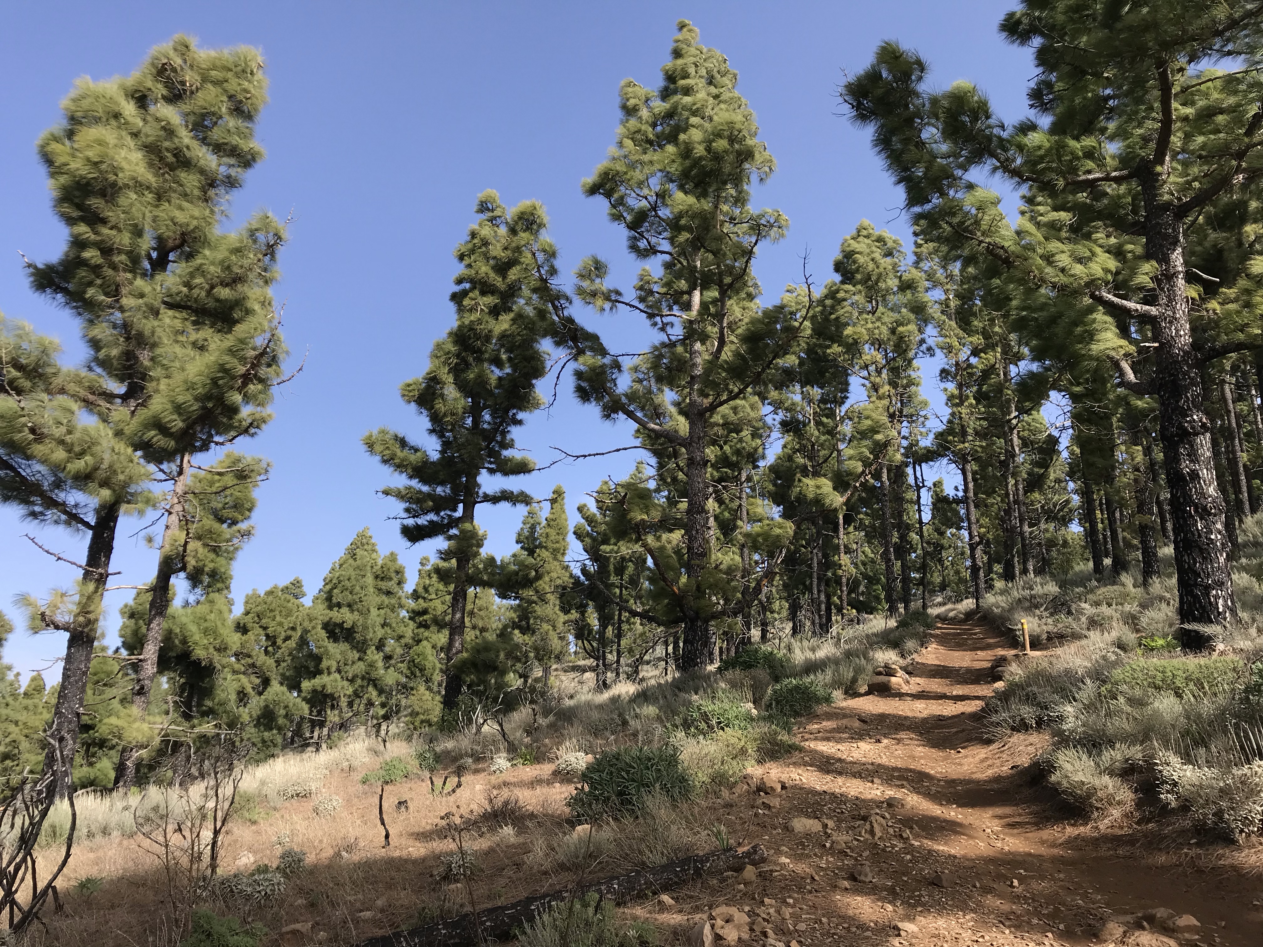
- Wear good walking boots with plenty of grip – many of the mountain paths are cobbled or strewn with boulders. Hiking poles come in handy for this very reason.
- Take plenty of food and drink – don’t count on being able to replenish supplies en route. We saw vans selling refreshments at the car parks at Pico de las Nieves and beneath Roque Nublo, but there’s no guarantee they’ll be there for you. Our top tip: take a cool bag with mini-bottles of frozen orange squash; when they melt they’re a delicious pick-me-up.
- For directions I’d recommend downloading Kompass, the Austrian hiking map app. Basic coverage is free, but a 1-month subscription for £4.49 gives you more detail, colour-coded paths, and offline access (crucial when there’s no signal).
I hope this info is useful to anyone planning a hiking trip to Gran Canaria. Feel free to contact me with any queries and I’ll do my best to answer them. Happy hiking!
